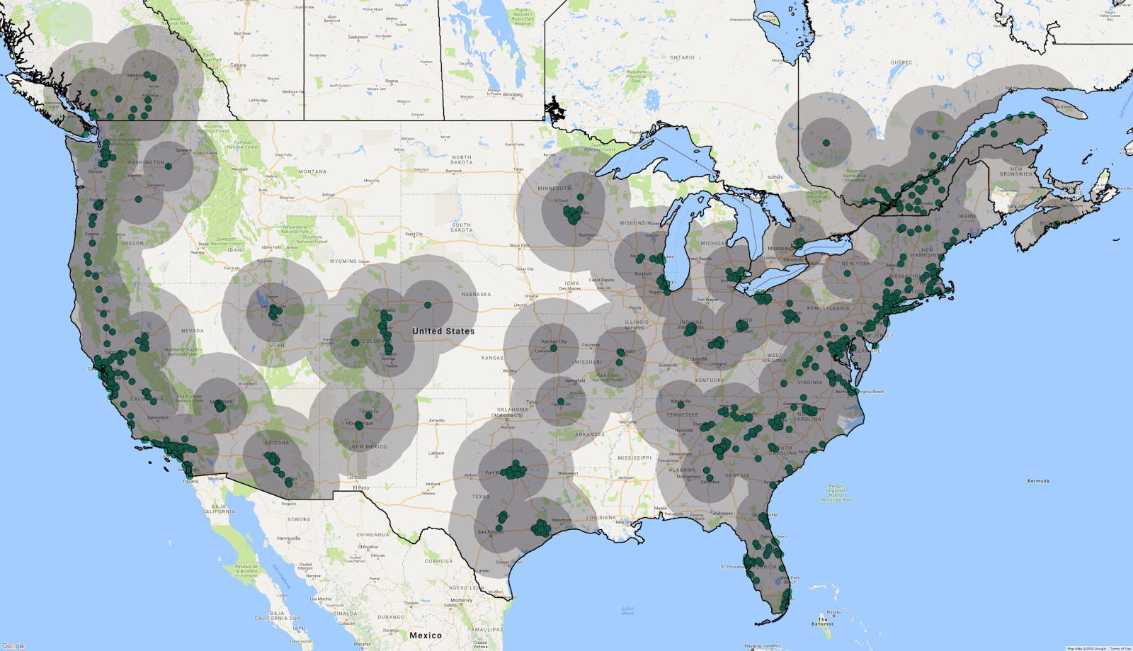
CCS DC fast charger coverage map

Chevy Bolt EV Forum

Help Support Chevy Bolt EV Forum:

This site may earn a commission from merchant affiliate links, including eBay, Amazon, and others.
The map should certainly reduce some of the range anxiety for people who are nervous to get an all-electric vehicle
 
WetEV said:
And many CHAdeMO only stations. Few if any CCS only stations.
There are some CCS-only units, such as the 24-kW variety installed at some BMW dealers. But yes, these are a small portion of the total: about 15%.
 
I would like to see a similar heat map based on on number of plugs. After all with a single CCS plug at most locations you can't be certain it won't be broken or occupied. That would be quite a downer if you are planning to use it for a long distance trip!
 
I think it would be nice to update this with the 238 mile range in mind. Perhaps with 110/220 mile circles.
 
Geo said:
I think it would be nice to update this with the 238 mile range in mind. Perhaps with 110/220 mile circles.
That would be very unrealistic. Please don't.

EPA Highway range is 220 mi, but highway travel may be faster than expected during the EPA test. Traveling at 70+ mph (with the flow of traffic), will not allow you to go 220 mi. In addition, no one should plan to use their entire battery. Not only is it bad for the battery, it's poor planning since there are always variables (weather, charger availability, etc) for which you need to leave yourself margin. 180 mi is probably a good planning distance for travel at highway speeds.

And then there are the roads. They aren't straight radials from each CCS station. So depicting a circle around the CCS stations needs to account for real roads that can take a circuitous route. What's a reasonable knockdown for this? Maybe 10% on the 180mi distance so 160mi.

Circles at 160 mi and 80 mi are more realistic.

Breezy's revised map, with 175 and 88 mi circles, is a tad optimistic but pretty close.

CCS_175%252687.5mi_radius_Can_Am.png
 
Geo said:
I think it would be nice to update this with the 238 mile range in mind. Perhaps with 110/220 mile circles.

No, please do not. EPA range isn't exact. On a given day, with wind, rain, hills, varying speeds, climate control, different air, cabin and battery temperatures, etc etc, you have a fair chance of not driving 238 miles before empty.

Add in unplanned events like accidents, traffic jams, construction, detours, and keeping a margin of safety, and 200 mile circles are too far for anyone but optimists.

Roads are rarely straight lines from station to station.

As a general guide, the map as currently shown is good. Don't use it for route planning.
(Zoomit posted the same point while I was writing this.)
 
I just checked plugshare, and there are a handful of CCS chargers in Albany, NY which are not on this map. I wonder - can someone redo the map with the latest from plugshare?
 
This map is only intended to be a rough guide, like the Tesla Supercharger map.

It would be ideal if someone with web development knowledge could produce something like http://supercharge.info/ . Then you could customize radius to your liking. That's out of my expertise.
 
Back
Top